


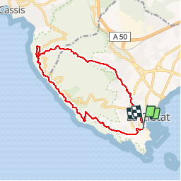


12,1 km | 19,9 km-effort

Gebruiker


Gratisgps-wandelapplicatie
 SityTrail
IGN / Geografische instituten
SityTrail World
De wereld gaat voor u open
Tocht Stappen van 15,1 km beschikbaar op Provence-Alpes-Côte d'Azur, Bouches-du-Rhône, La Ciotat. Deze tocht wordt voorgesteld door francis1952.
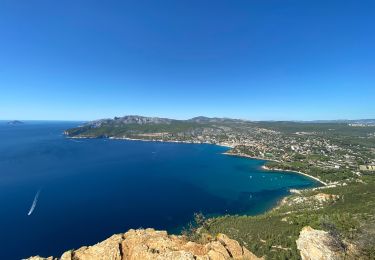
1ère partie difficile, et cool le retour.
Super rando.


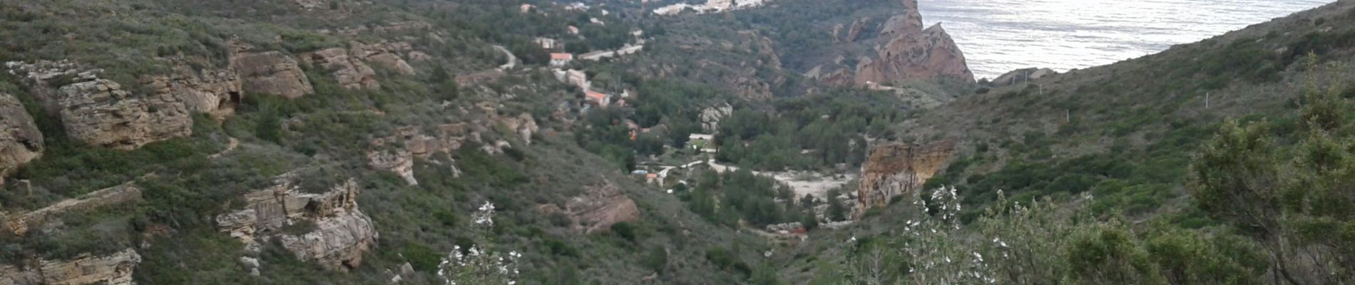
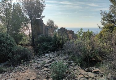
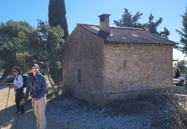
36 fotos in totaal. Klik op een foto om ze allemaal in de galerij weer te geven.

Stappen

Stappen

Stappen
Stappen

Stappen

Stappen
Stappen
Stappen
Stappen